Remote Sensing for Identification and Assessment of Invasive Phragmites (Phragmites australis) in Wetland Ecosystems in New Brunswick

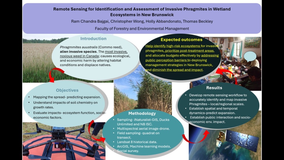
This slide provides a bird’s-eye view of my PhD project, summarizing its core components in a single visual. The header presents the student and supervisors, while the five text boxes outline the major research stages, each capturing its key essence.
A gradual color transition from the introduction to the expected outcomes represents the flow and progress of the project. The red arrows connecting the boxes signify the transition between research stages, highlighting their distinct yet interconnected nature.
At the center of the slide, an image symbolizes the project's central theme—ultimately aiming to establish a clear path for managing Phragmites, much like a visible trail cutting through dense Phragmites stands.
The first image (top left) illustrates Phragmites growth in the field, which serves as the rationale for this study. The other images represent methodologies:
- Drone imagery (bottom left)
- Satellite analysis (bottom right)
- Public engagement (top right)